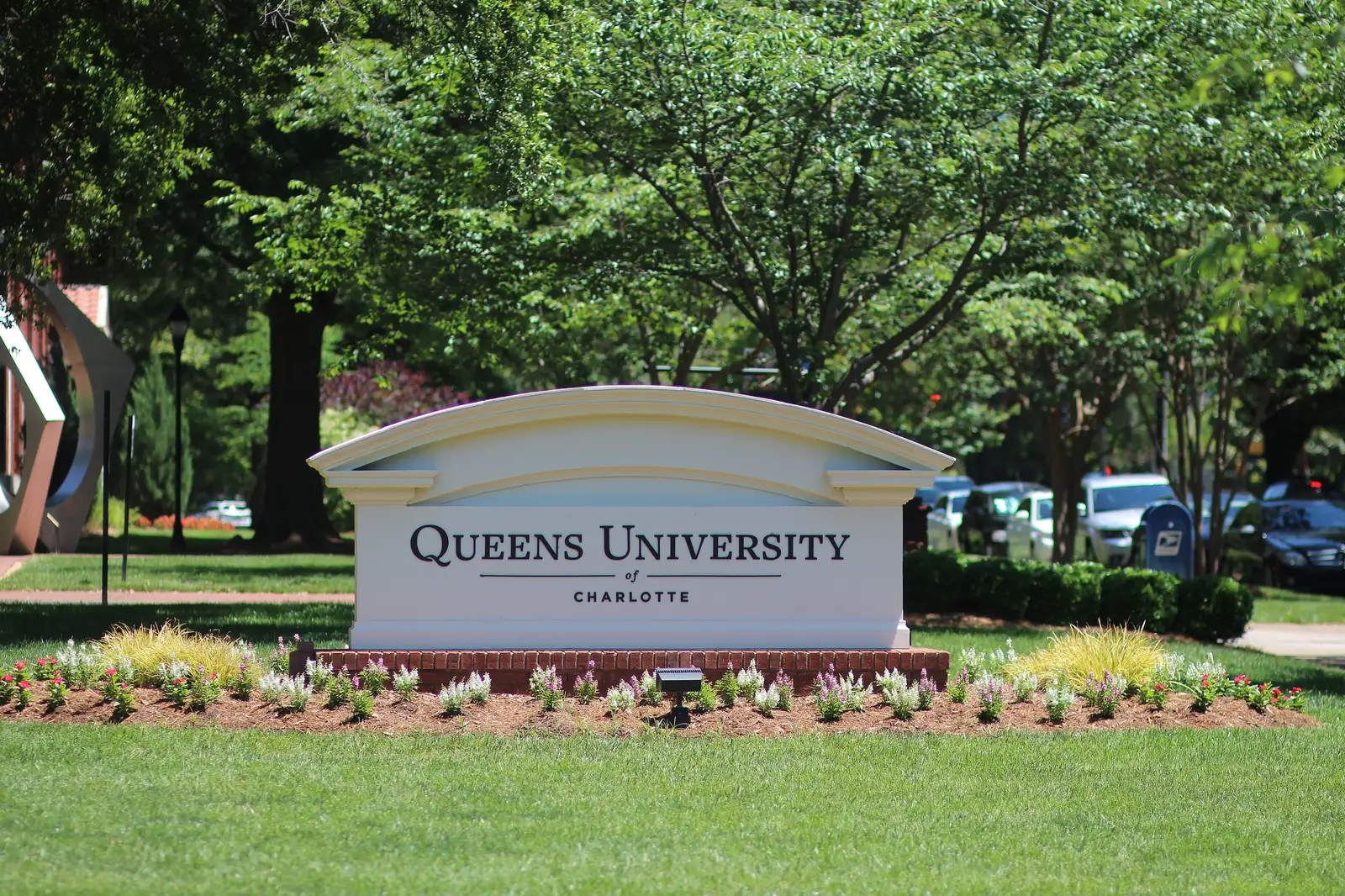
Myers Park, around Queens Road and Queens University, is zoned for Myers Park High. Zillow's typical value in ZIP 28207 was $1,662,801 in August 2026.
Last checked Oct. 11, 2026. Sources: OpenStreetMap place names and stores, Mecklenburg County GIS (CMS 2026-27 feeder boundaries, parks and greenways), the N.C. Department of Public Instruction’s 2025-26 accountability data, CATS schedule data and Zillow Research.
Myers Park is the neighborhood south of Uptown and Dilworth around Queens Road and Queens University of Charlotte. OpenStreetMap marks it with a single point near Queens Road and gives it no boundary, so this page covers the land within 0.6 mile of that point, about 1.1 square miles. It is all inside city limits. By land area it is 81% ZIP code 28207, 11% 28209 and 8% 28203.
What this means for you
- Zoned high school: Myers Park High, for the whole area. Check one address in the CMS Boundary Search or call CMS at 980-343-3000.
- Home value: $1,662,801 in ZIP 28207 in August 2026, according to the Zillow Home Value Index.
- Nearest interstate: I-277 Exit 2A (Kenilworth Avenue, Third and Fourth streets), about 3 miles by road.
Part of our Charlotte neighborhoods guide.
Where it is
The main streets inside the area, from the county’s thoroughfare map, are Queens Road, Queens Road West, Queens Road East, Providence Road, Selwyn Avenue, South Kings Drive, East Boulevard and Sharon Road. The Little Sugar Creek Greenway runs through it. Elizabeth is to the north and SouthPark about 3 miles south in a straight line.
Schools
Myers Park is in Charlotte-Mecklenburg Schools. We counted the zoning of all 1,313 parcels in the area in the 2026-27 feeder boundary data published by Mecklenburg County. Scores are the share of state tests at grade level in 2025-26 and the growth rating, from the state’s accountability data.
| Level | School | Share of parcels | 2025-26 at grade level | Growth |
|---|---|---|---|---|
| Elementary | Dilworth Elementary, Latta Campus, 405 E. Park Ave. | 91% | 88.4% | Not met |
| Elementary | Eastover Elementary, 500 Cherokee Road | 8% | 81.8% | Met |
| Middle | Sedgefield Middle, 2700 Dorchester Place | 99% | 60.6% | Not met |
| High | Myers Park High, 2400 Colony Road | 100% | 67.8% | Exceeded |
A handful of parcels on the edge, six of 1,313, are zoned for Selwyn Elementary and Alexander Graham Middle. Dilworth Elementary’s younger grades attend its Sedgefield Campus, 715 Hartford Ave. Myers Park High graduated 89.4% of students in four years. The CMS figure for all its schools was 60.9% at grade level. More in our schools guide.
Home values
From the Zillow Home Value Index, a modeled typical value for the middle third of homes, not a sale price:
| Area | August 2026 | August 2025 | Change |
|---|---|---|---|
| ZIP code 28207 | $1,662,801 | $1,543,639 | +7.7% |
| ZIP code 28209 | $672,324 | $643,667 | +4.5% |
| City of Charlotte, for comparison | $392,573 | $396,834 | -1.1% |
ZIP 28207 had the highest typical value of the 23 Charlotte ZIP codes in our Zillow file for August 2026. Trends are on our home prices page.
Parks and trails
- About 0.8 mile of the Little Sugar Creek Greenway falls inside the area, according to Mecklenburg County’s greenway data.
- Freedom Park, 2435 Cumberland Ave., a regional park about 0.6 mile west of the center, from the county’s park list.
- Edgehill Park, 812 S. Edgehill Road, on the edge of the area.
- Discovery Place Nature, 1658 Sterling Road, a nature museum the county lists among its park sites.
More in our parks and trails guide.
Getting around
- Bus: CATS routes 6 (Kings Drive), 14 (Providence Road) and 20 (Sharon Road) stop inside the area, according to CATS schedule data. There is no light rail station in the area.
- Interstates: I-277 Exit 2A is about 3 miles by road, and I-77 Exit 6A at Woodlawn Road, signed for Queens University, about 5.3 miles, numbered as in OpenStreetMap.
- Uptown and the airport: about 2.5 miles to the Charlotte-Mecklenburg Government Center and 8.8 miles to Charlotte Douglas International Airport.
Distances were measured from the center of the area on OpenStreetMap roads with the OSRM routing engine. They are distances, not drive times. More in our getting around guide.
Groceries and everyday stores
From OpenStreetMap:
- Harris Teeter, 1015 Providence Road, inside the area
- The Fresh Market, 1408 East Blvd., on the west edge
HOAs
The city’s neighborhood directory lists no homeowners association for Myers Park, so this page does not either.
Who serves Myers Park
It is inside city limits: the Charlotte-Mecklenburg Police Department, the Charlotte Fire Department and the city’s Solid Waste Services serve it. Property tax goes to the City of Charlotte and Mecklenburg County; see our property tax guide.
Frequently asked questions
What schools is Myers Park zoned for?
About 91% of parcels near Queens Road are zoned for Dilworth Elementary, Sedgefield Middle and Myers Park High for 2026-27, and most of the rest for Eastover Elementary, Sedgefield Middle and Myers Park High, according to the CMS feeder boundary data published by Mecklenburg County.
What ZIP code is Myers Park in?
Mostly 28207, with edges in 28209 and 28203. Zillow put the typical home value in ZIP 28207 at $1,662,801 in August 2026, up 7.7% from a year earlier.
Is Myers Park High School in Myers Park?
No. Myers Park High is at 2400 Colony Road, about 1.4 miles south of the center of the area this page covers, in a straight line, but the whole area is zoned for it.
Is Myers Park a good place to live?
Here are the facts. Myers Park is a neighborhood about 2.5 miles by road south of Uptown, around Queens Road and Queens University, with the Little Sugar Creek Greenway running through it and Freedom Park nearby. It is zoned for Myers Park High, where 67.8% of state tests were at grade level in 2025-26, and the typical home value in ZIP 28207 was $1,662,801 in August 2026, according to Zillow.
Have your say