Charlotte walking and biking trails: the 17-mile Little Sugar Creek Greenway, the 3.5-mile Rail Trail, greenway distances and mountain bike trails.
Last checked Oct. 11, 2026. Distances and endpoints come from Mecklenburg County Park and Recreation’s greenway listing (updated March 2026), the Charlotte Rail Trail and the Tarheel Trailblazers.
Mecklenburg County Park and Recreation runs Charlotte’s greenways. Its March 2026 count: 85.5 miles of greenway trail, 25.9 miles of greenway access trail, 30.4 miles of urban trail, 76.2 miles of nature preserve trail and 225.5 miles of park trails (115.7 paved and 109.8 natural surface). For parks, nature centers and dog parks, see our parks and trails guide; this page is about where to walk, run and ride.
Who to call
- Greenway or park problem: Mecklenburg County Park and Recreation, 980-314-1000
- Emergency on a trail: 911; give the greenway name and the nearest mile marker or neighborhood exit address
- Maps: the county’s greenway brochure and nearest-greenway finder
Charlotte greenways by length
| Greenway | Length | From and to |
|---|---|---|
| Little Sugar Creek | 17+ miles | Brevard Street in NoDa to the South Carolina line |
| Mallard Creek, Barton and Clarks Creek | 7.6 miles | Fairlea Drive and Amaranthus Court to Mallard Creek Church Road |
| Lower McAlpine, McMullen Creek and Four Mile Creek | 7.3 miles | Highway 51 to Johnston Road and Rea Road |
| Campbell Creek and Upper McAlpine Creek | 5.8 miles | Lockmont Drive to Providence Road |
| Long Creek and Dixon Branch | 3.5 miles | Near I-77 and Reames Road and I-485 near Trotter Road; Dixon Branch runs from Long Creek toward Northlake |
| Toby Creek | 2.9 miles | Mallard Creek Greenway near Kirk Farm Fields to Rocky River Road, through UNC Charlotte |
| Irwin Creek | 2.7 miles | State Street to Cedar Street, with a link to Freedom Drive |
| Stewart Creek | 1.7 miles | West Boulevard to Clanton Road |
| Irvins Creek | 1.5 miles | Idlewild Road and Idlewild Road Park to Lakeview Circle and Sam Newell Road |
| Walker Branch | 1.1 miles | South Tryon Street to Smith Road |
| Briar Creek | 2.3 miles in three sections | Arnold Drive to Masonic Drive; behind Myers Park High School; Randolph Road to Meadowbrook Road |
| Wesley Heights (Stewart Tributary) | 1 mile | Lakewood Avenue to Yellowstone Drive |
Each greenway has a “View map” link on the county listing that opens the county’s Park Explorer map with access points.
The long rides
- Cross Charlotte Trail: the Little Sugar Creek, Toby Creek and Mallard Creek greenways are all part of it, so you can link NoDa, UNC Charlotte and northeast Charlotte on one route.
- Little Sugar Creek Greenway: more than 17 miles from NoDa to the state line. Its urban section near Uptown carries the Charlotte Trail of History, bronze sculptures of people who shaped Mecklenburg County.
- South Charlotte network: the Lower McAlpine, McMullen Creek and Four Mile Creek greenways run 7.3 miles, with the Little Sugar Creek/McMullen Creek Connector to Park Road and the Ballantyne Connector Trail to Ballantyne Corporate Place.
The Rail Trail
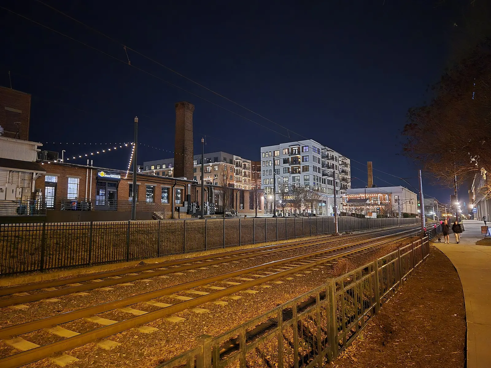
The Charlotte Rail Trail is a 3.5-mile urban walkway beside the LYNX Blue Line, connecting Sedgefield, Southside Park, Brookhill, Dilworth, Wilmore and South End to Uptown. It passes public art, including installations at First Ward Park on the Uptown end, and has held Rail Trail Lights, an interactive light art event, in February. Because it runs beside the Blue Line, you can reach it from any South End station.
Mountain biking
The Tarheel Trailblazers manage many of the area’s mountain bike trails, according to the county. Those in Charlotte, with the group’s listed distances:
| Trail | Miles |
|---|---|
| U.S. National Whitewater Center | 50 |
| Sherman Branch | 11.5 |
| Rocky Branch Park | 6 |
| Southview Park | 5.1 |
| Renaissance Park | 4 |
| Ballantyne District Park | 2.8 |
Check the group’s site for trail status before you ride, especially after rain.
Safety
- Greenways are shared by walkers, runners and cyclists. Keep right and call out when you pass.
- Note the mile markers. In an emergency, the county tells you to give 911 the greenway name and the nearest marker or neighborhood exit.
- Dogs must be leashed on greenways; see our dog-friendly guide.
What this means for you
- Start with Little Sugar Creek for distance or the Rail Trail for a city walk.
- Use the county map links to find parking at each access point.
- More outdoor plans: free things to do and kids’ activities.
Frequently asked questions
What is the longest greenway in Charlotte?
The Little Sugar Creek Greenway, with more than 17 miles of trail from Brevard Street in NoDa to the South Carolina state line. It is part of the Cross Charlotte Trail.
How long is the Charlotte Rail Trail?
The Rail Trail runs 3.5 miles beside the LYNX Blue Line, linking Sedgefield, Southside Park, Brookhill, Dilworth, Wilmore and South End to Uptown.
How many miles of greenway does Mecklenburg County have?
85.5 miles of greenway trail and 25.9 miles of greenway access trail, as of the county’s March 2026 count, plus 225.5 miles of park trails and 76.2 miles of nature preserve trails.
Where can I mountain bike in Charlotte?
The Tarheel Trailblazers list trails at the U.S. National Whitewater Center (50 miles), Sherman Branch (11.5 miles), Rocky Branch Park (6 miles), Southview Park (5.1 miles), Renaissance Park (4 miles) and Ballantyne District Park (2.8 miles).
Who do I call about a greenway problem?
Mecklenburg County Park and Recreation, 980-314-1000. In an emergency call 911 and give the greenway name and the nearest mile marker or neighborhood exit.
Have your say